Aerial Mapping Solutions
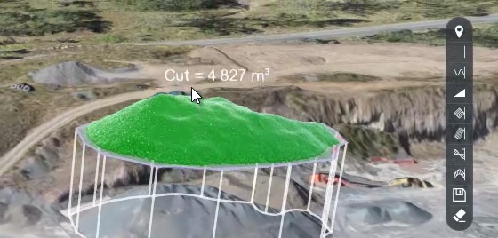
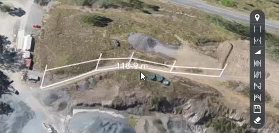
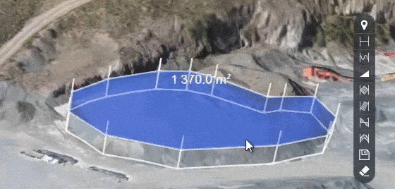
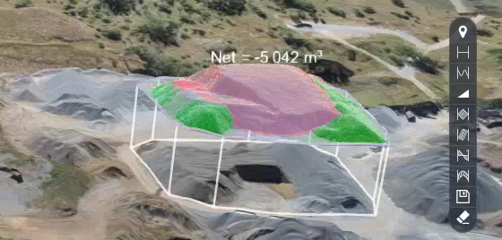
MONITOR & ANALYSE EARTHWORKS
We capture, process and manage large aerial data sets to offline or online client portals, ensuring that you have full control and functionality over your drone data.
SAFE, EFFICIENT & EFFECTIVE
What do you get with your data set?
- Orthophotos in .jpg and .tiff format
- Terrain data in .dxf and .tiff
- 3D Point cloud (LAZ)
- upto 1GB in overlays, video and other downloadable content
What can you do with your data?
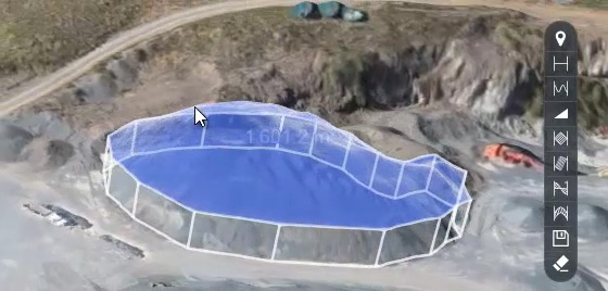
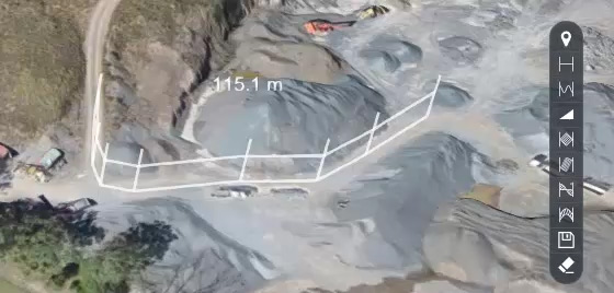
- Quickly calculate the grade of a surface
- Create a pro-active approach to risk and safety
- Manage stockpiles from a remote location with your online client portal
- Export data for offline management