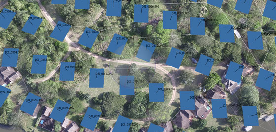
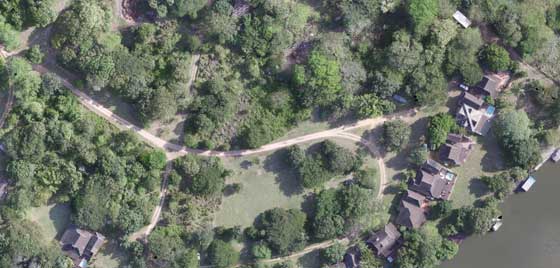
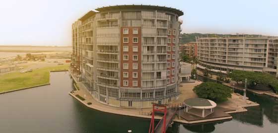
DRONE SERVICES FOR CONSTRUCTION
Aerial Photography
PLAN & COMMUNICATE PROJECTS QUICKLY & ACCURATELY.
Design, Construction, Operation and demolition – Our drone services will cut costs and increase quality at every stage of the projects life cycle.
SAFE, EFFICIENT & EFFECTIVE
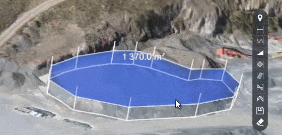
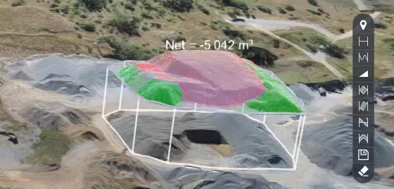
What do you get with your data set?
- Orthophotos in .jpg and .tiff format
- Terrain data in .dxf and .tiff
- 3D Point cloud (LAZ)
- upto 1GB in overlays, video and other downloadable content
What can you do with your data?
- Quickly calculate the grade of a surface
- Create a pro-active approach to risk and safety
- Manage stockpiles from a remote location with your online client portal
- Export data for offline management