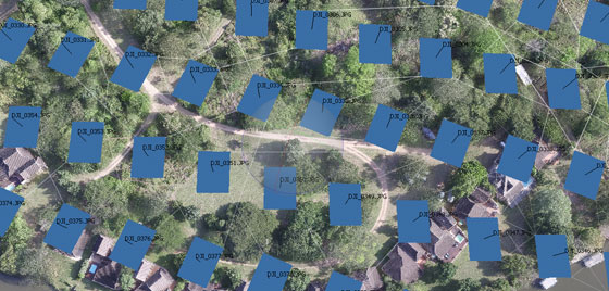
AERIAL SERVICES FOR INSPECTION
Aerial Photography
FAST, SAFE & ACCURATE AERIAL INSPECTIONS
We capture highly-detailed data sets with high-resolution photography to enable improved decision making. In a sector where safety, quality and cost are key factors, you can be sure that SkyBot will deliver on time & on budget.
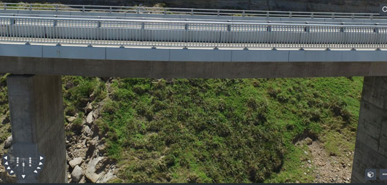
SAFE, EFFICIENT & EFFECTIVE
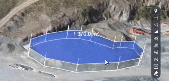
What do you get with your data set?
- Orthophotos in .jpg and .tiff format
- Terrain data in .dxf and .tiff
- 3D Point cloud (LAZ)
- upto 1GB in overlays, video and other downloadable content
What can you do with your data?
- Quickly calculate the grade of a surface
- Create a pro-active approach to risk and safety
- Manage stockpiles from a remote location with your online client portal
- Export data for offline management